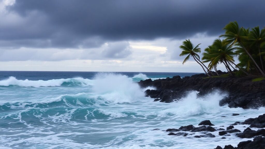
Residents and visitors across Hawaii are urged to exercise caution as Hurricane Kiko advances in the eastern Pacific. The major hurricane is expected to churn up powerful swells that will impact the islands with hazardous surf and strong rip currents through the coming days.
Key Takeaways
- Hurricane Kiko is a strong Category 3 system moving west toward Hawaii.
- Forecasters warn of hazardous surf and life-threatening rip currents along exposed shores.
- Beachgoers and small craft operators are advised to stay alert and heed all advisories.
- The exact path of Kiko remains uncertain, with direct wind and rain impacts still being monitored.
Hurricane Kiko’s Trajectory and Strength
As of early September 5, Hurricane Kiko’s maximum sustained winds reached 125 mph (205 km/h). The storm continues west at 9 mph (15 km/h), moving closer to Hawaii and raising public concern as it approaches. While meteorologists anticipate some short-term strengthening, Kiko is forecast to encounter cooler waters and increased wind shear, likely leading to gradual weakening as it nears the islands.
Surf and Rip Current Threats
The most immediate impact for Hawaii is the arrival of large swells projected to reach the islands by late weekend. Dangerous surf and rip currents are expected along southern and eastern shorelines—a risk amplified by Kiko’s sustained intensity.
The National Weather Service in Honolulu stresses that these conditions will be hazardous for swimmers and may pose significant dangers for anyone entering the water. Precautionary measures, such as staying onshore and carefully monitoring local advisories, are highly recommended.
Potential for Direct Impacts in Hawaii
Although Hurricane Kiko is expected to weaken once it reaches cooler waters and stronger wind conditions, forecast models show a likely approach to the eastern end of the Hawaiian Islands early next week. There remains a possibility of direct impacts—such as gusty winds and heavy rainfall—but the severity and precise locations remain uncertain until closer observations can be made.
At present, no official watches or warnings are issued for the Hawaiian coast, but authorities continue to monitor developments closely and encourage the community to stay informed and prepared.
Safety Reminders and Advice
- Avoid entering the ocean along affected shores, especially during periods of high surf.
- Follow guidance from local emergency management and weather services.
- Small craft operators should pay close attention to changing sea conditions.
- Stay updated with official weather advisories and alerts as the situation evolves.
What to Expect Next
Meteorologists will keep monitoring Kiko’s movement and changing conditions through the weekend. New watches or warnings may be announced if the hurricane shifts course or maintains its strength longer than anticipated. In the meantime, Hawaii’s residents and visitors are urged to prioritize safety and readiness as the storm progresses in their direction.
Further Reading
- Hurricane Kiko forecast to bring dangerous surf and rip currents to Hawaii, The Watchers – Watching the world evolve and transform.


